| Picture (size) |
Description | Original Image (size) |
|---|---|---|
 (153968) |
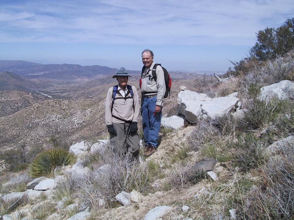
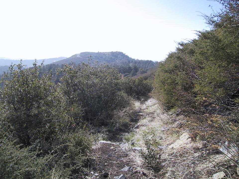
Larry and Brooks on the flank of Cole Point. |
Original (722998) |
 (144233) |
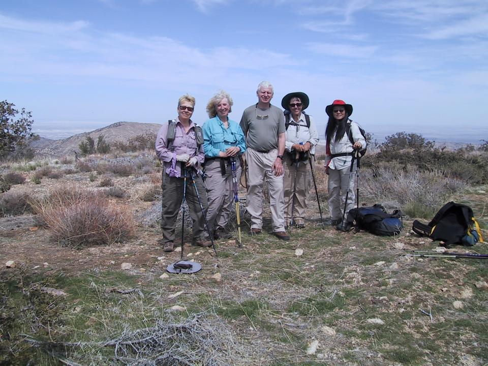
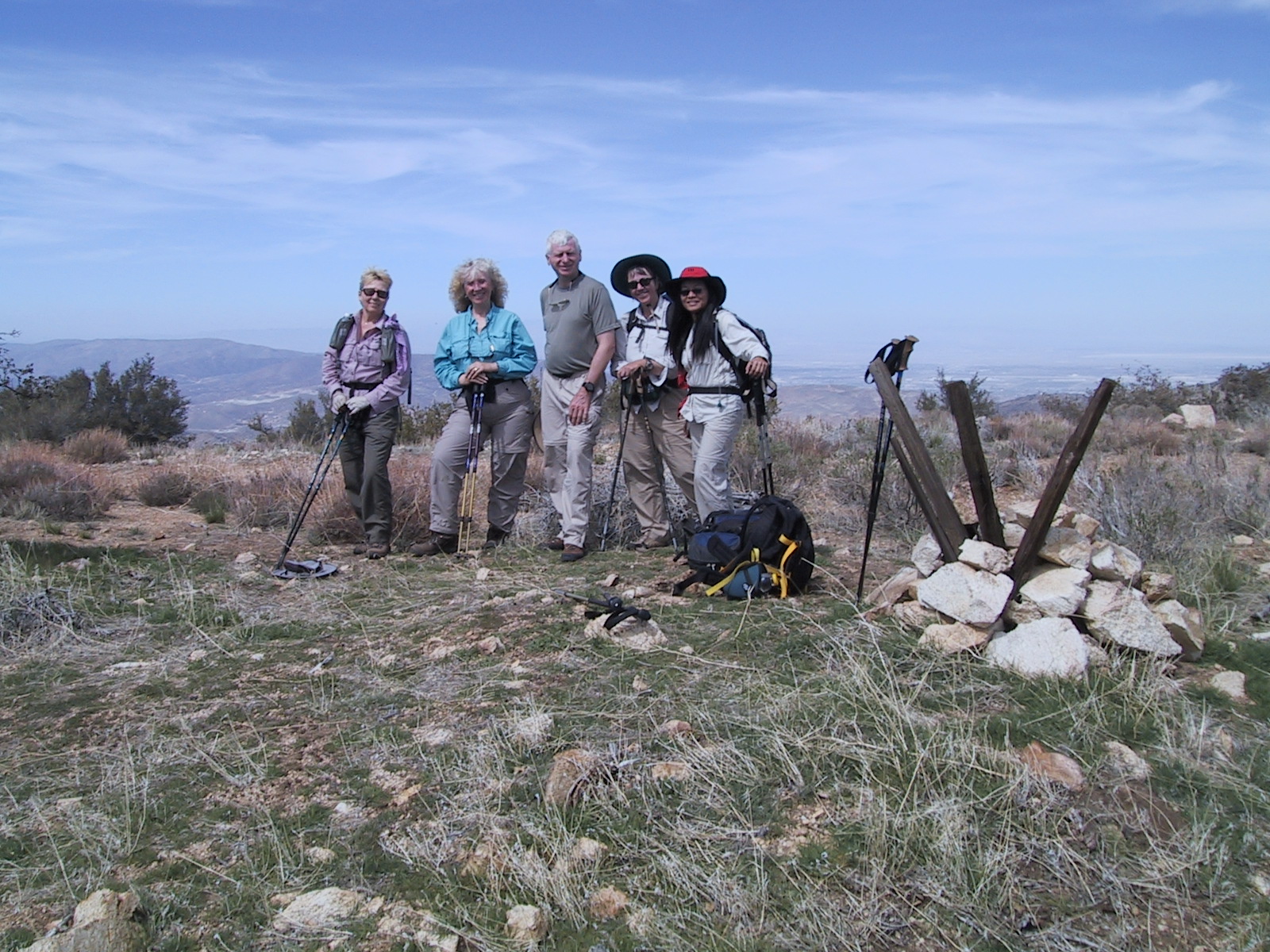
Doris, Lynda, Bob, Karen, and Val on the summit of Cole Point. Mt. Emma and the Antelope Valley are in the background. |
Original (676647) |
 (144471) |
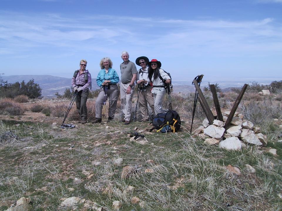
Doris, Lynda, Bob, Karen, and Val on the summit of Cole Point. |
Original (677933) |
 (111437) |
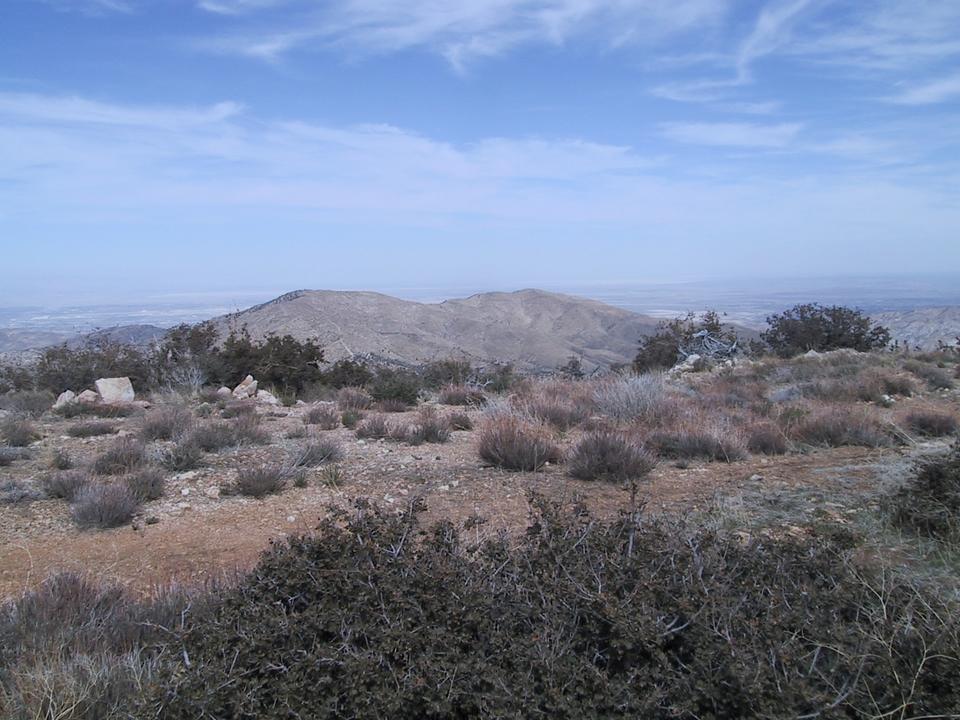
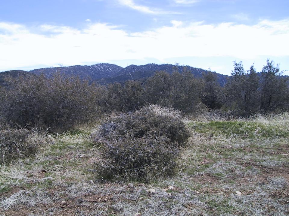
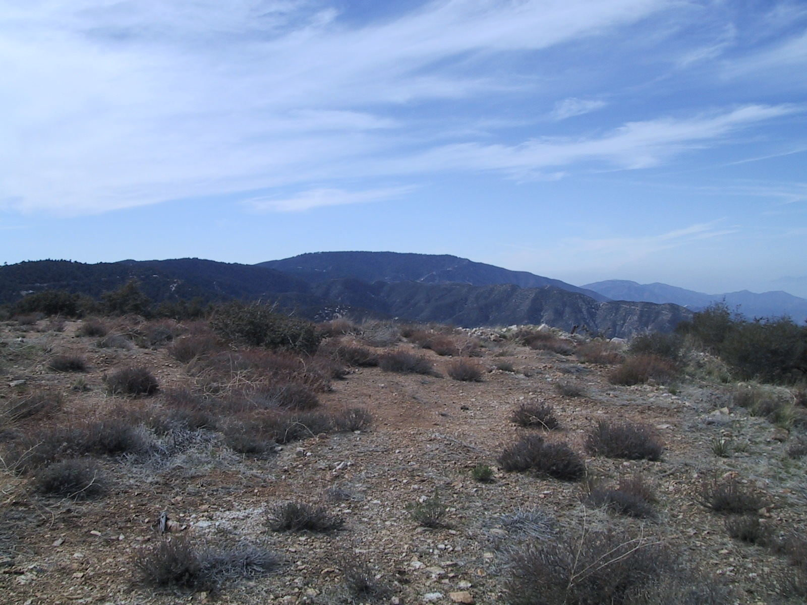
Mt. Emma and Old Emma seen from the summit of Cole Point. |
Original (564850) |
 (121295) |
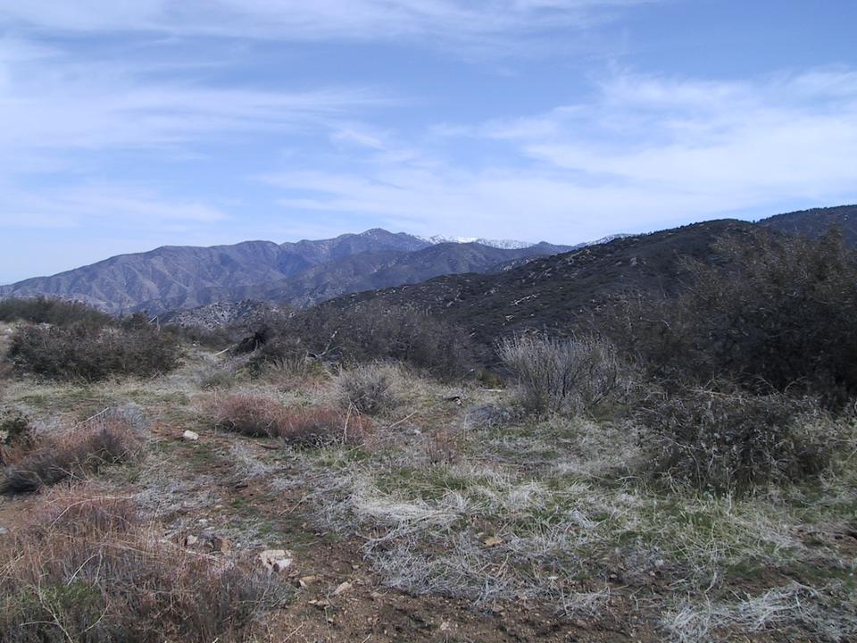
Snow on the San Gabriels. |
Original (605216) |
 (151904) |
Looking south towards Mount Pacifico. |
Original (712890) |
 (101682) |
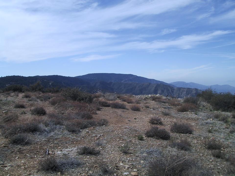
Looking west towards Mount Gleason. |
Original (521527) |
 (91525) |
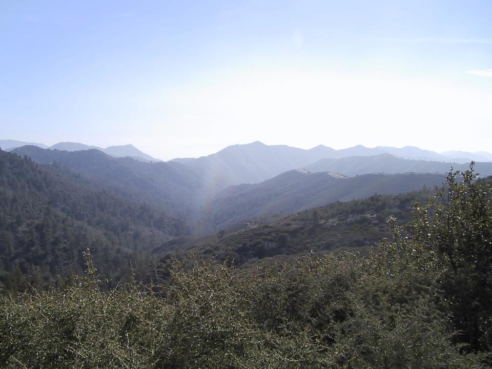
Iron, Mendenhall Ridge, and Condor seen from the west flank of Gleason. |
Original (472789) |
 (171320) |
For some reason I photographed the PCT. (?) |
Original (783074) |
 (179319) |
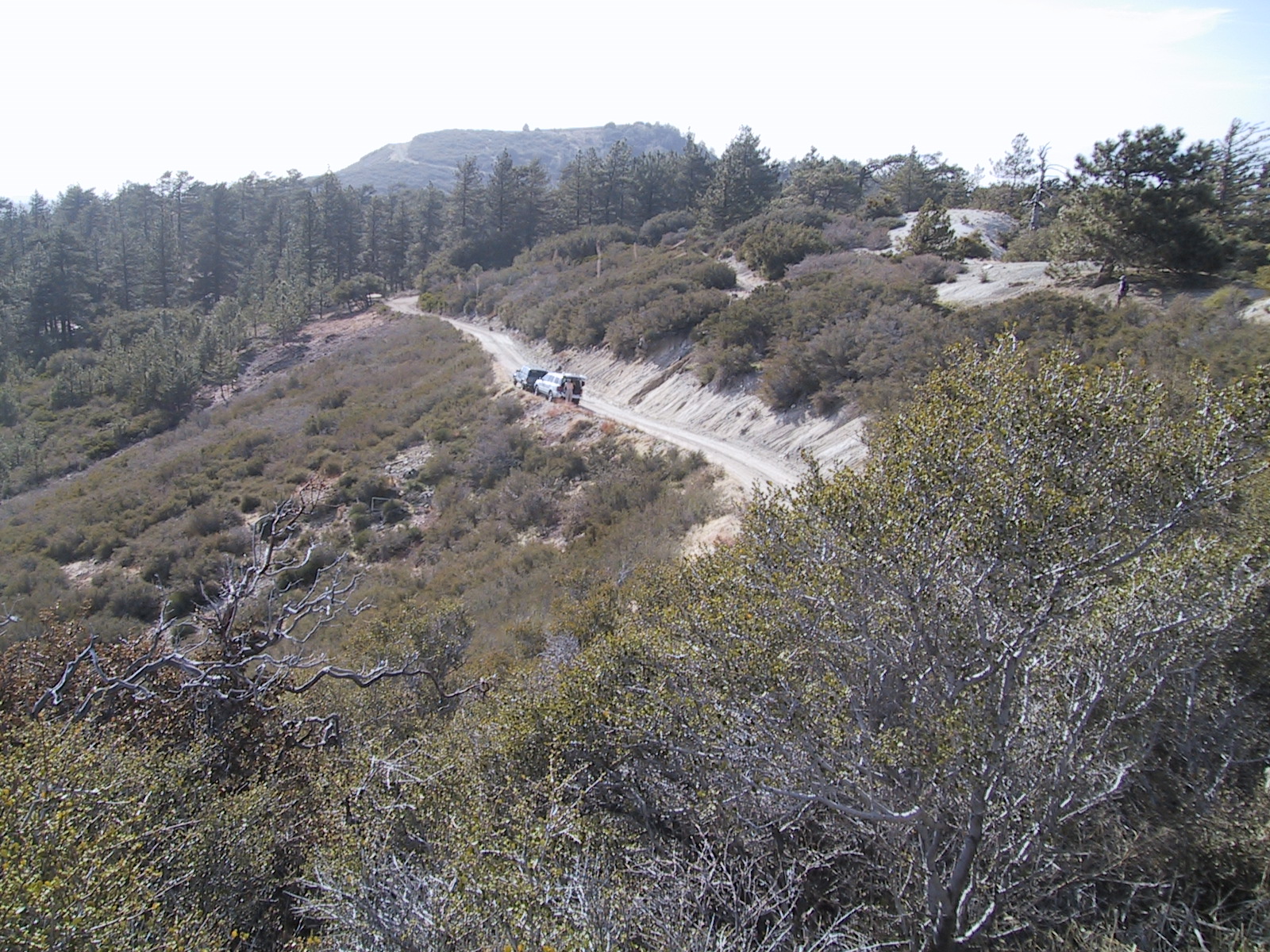
Back at the cars. The Class 1.14c road cut to the right was the crux of the climb. |
Original (836994) |